Surviving the Overland: Mastering Tasmania's Wild Heart in Shifting Skies
-
 Chloe Tremblay
 - 04 Oct, 2026 12:47
Dawn Over Cradle Mountain: Setting the Stage for the Overland
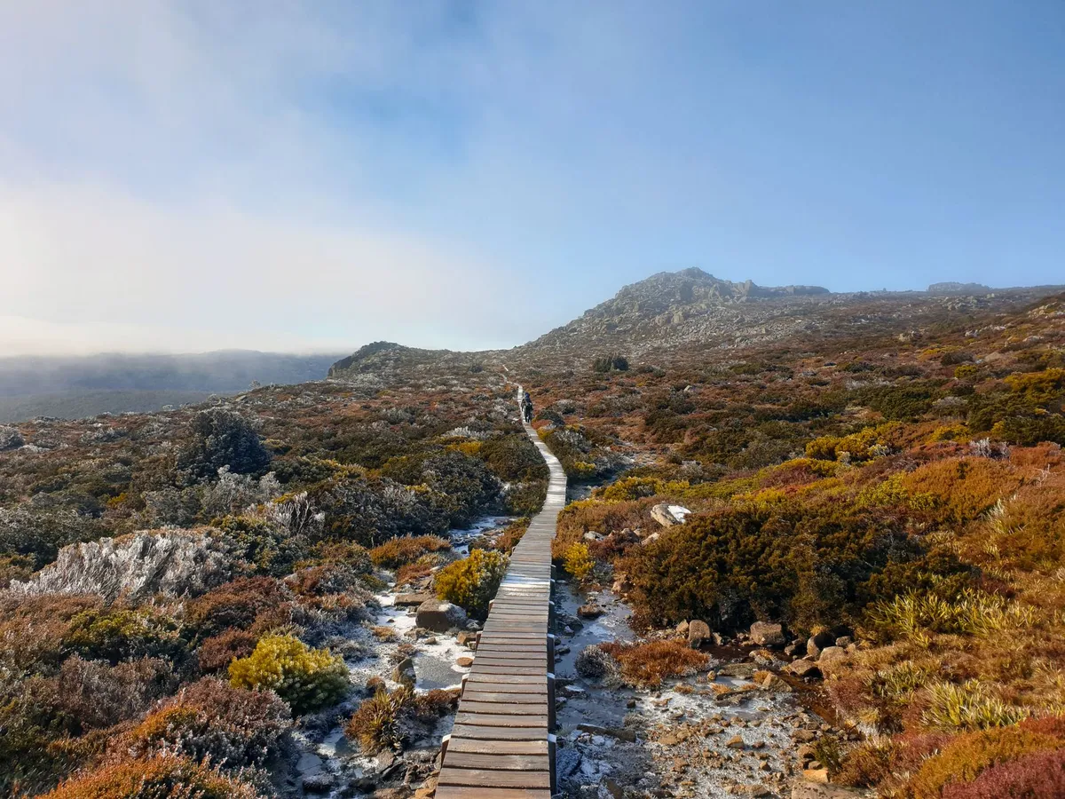
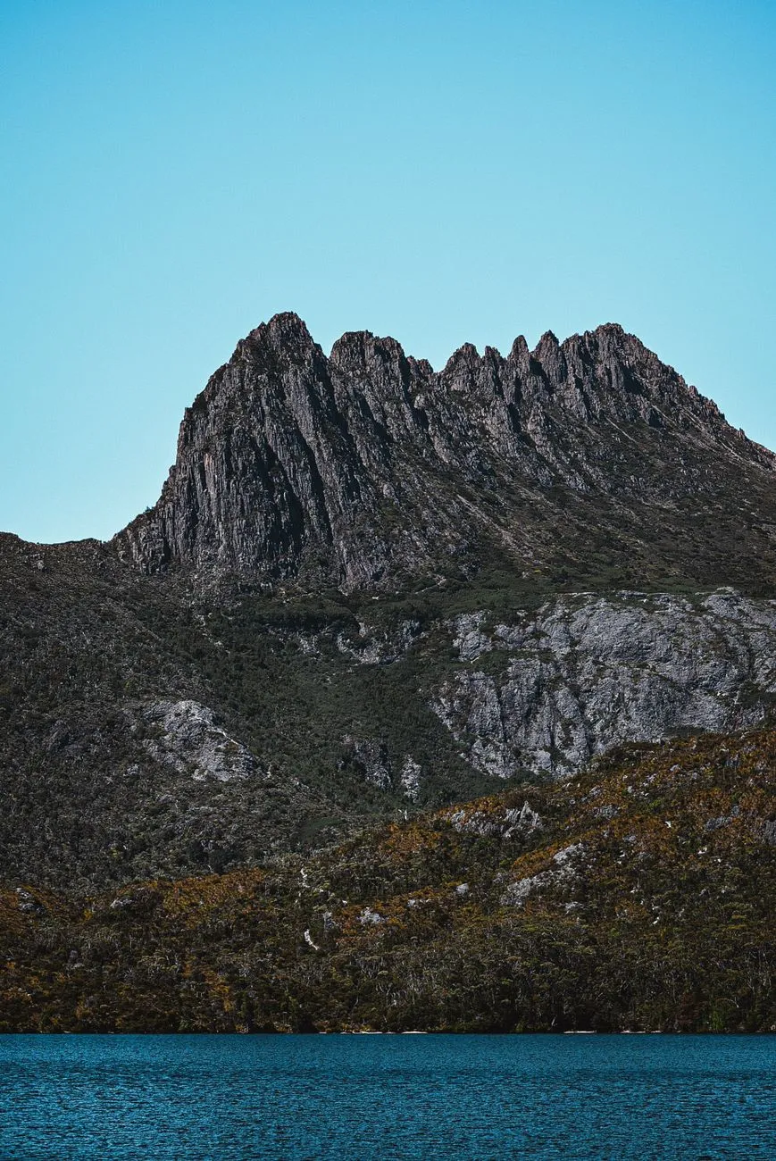
The first light that kisses the jagged silhouette of Cradle Mountain is more than a postcard moment; it is the literal and psychological launchpad for every trekker who commits to the 65‑kilometre Overland Track. The track threads through the Tasmanian Wilderness World Heritage Area, a landscape where alpine heath, ancient rainforest, and glacial lakes coexist in a fragile balance. Before a single boot hits the boardwalk, the hiker must internalise the reality that the weather here does not follow a forecast—it writes its own script. The budget guide published by the Tasmanian Parks and Wildlife Service, cross‑referenced with Numbeo’s cost‑of‑living index for Tasmania, shows that a basic permit for the 2024‑25 season costs roughly AUD 240 per adult, while a return shuttle from Hobart to the Cradle Mountain visitor centre averages AUD 150. Those numbers are the financial bedrock; the physical bedrock is the ever‑present possibility of sudden snow, driving rain, or a wind chill that can drop the felt temperature well below zero even in midsummer.
Understanding the terrain is the first survival skill. The track ascends from 700 metres at Ronny Creek to the 1,300‑metre summit of Mount Ossa, Tasmania’s highest peak, before descending to the shores of Lake St Clair. Each elevation band brings its own microclimate: the lower valleys can be humid and mosquito‑laden, while the exposed plateaus are prone to katabatic winds that scour the alpine vegetation. The Parks Service recommends a minimum of six days for the full traverse, yet many experienced walkers stretch it to eight to allow for weather‑forced rest days. Building a realistic itinerary that includes buffer days is not a luxury—it is a safety margin that can mean the difference between a memorable adventure and a rescue operation.
The psychological preparation mirrors the logistical one. Hikers who have completed the track often speak of a “mental weather map” they carry: a habit of checking the sky every hour, noting cloud movement, wind direction, and temperature trends. This habit is cultivated long before the first step, during the weeks of training hikes where pack weight, boot break‑in, and layer systems are tested under simulated Tasmanian conditions. The budget guide also highlights hidden expenses—emergency satellite messenger rental (≈ AUD 30 per day), extra food for unplanned layovers, and potential gear replacement if a storm shreds a tarp. Factoring these into the pre‑trip spreadsheet prevents the nasty surprise of a dwindling cash reserve halfway through the wilderness.
In short, the Overland Track is not a simple point‑to‑point hike; it is a dynamic negotiation with an environment that respects no schedule. The first sunrise over Cradle Mountain is a promise, but the promise is kept only by those who respect the data, the terrain, and the capricious sky.
Reading the Sky: Weather Patterns That Shape the Track
Tasmania’s maritime climate is famously fickle, and the Overland Track sits at the convergence of three major weather drivers: the Southern Ocean’s cold fronts, the subtropical high‑pressure ridge, and the island’s own topographic funneling. Numbeo’s climate aggregates for Hobart show an average of 150 rainy days per year, but the highlands experience a compressed version of that statistic—intense precipitation events can dump 100 mm in a few hours, turning boardwalks into slick ribbons and river crossings into torrents. The Parks Service issues a daily “Track Condition Report” that grades each section from “Open” to “Closed – Hazardous,” and savvy hikers treat that report as gospel.
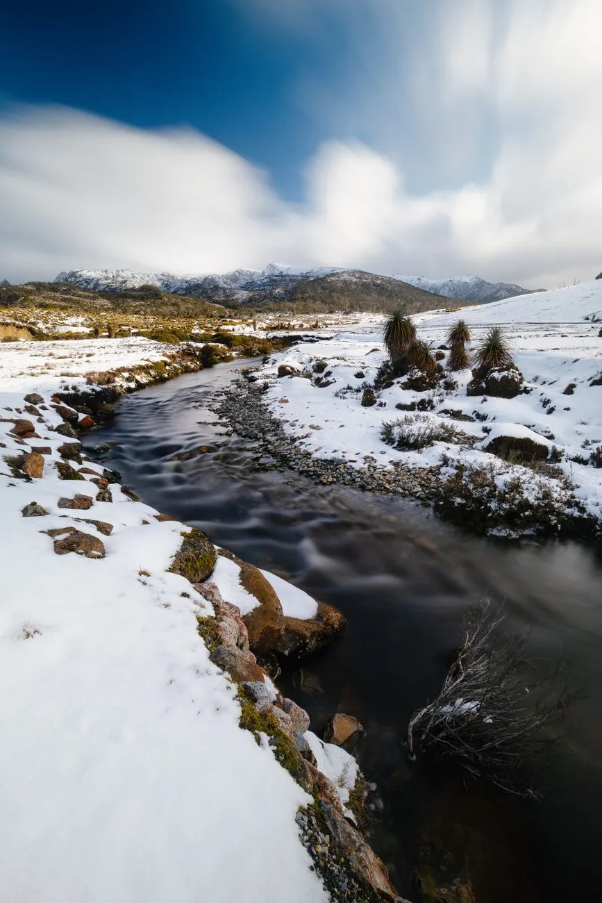
A practical rule of thumb is the “Three‑Hour Window”: if a cold front is forecast to arrive within three hours, assume the worst—visibility will drop, temperatures will plunge, and wind gusts can exceed 80 km/h on exposed ridges. The budget guide warns that many hikers underestimate the cost of a forced night in a hut (AUD 30 per night) versus a planned night in a campsite (AUD 15). When a front stalls, the track can become a corridor of wind‑driven sleet; the only reliable shelter is the network of six huts spaced roughly 12‑15 kilometres apart. Each hut has a wood‑stove, but firewood is limited and must be collected responsibly. Carrying a lightweight, four‑season tent as a backup is not optional—it is a lifeline when huts are full or when a sudden whiteout forces an early camp.
Micro‑climates along the track demand granular awareness. The section between Kitchen Hut and Waterfall Valley, for example, sits in a natural wind tunnel; a modest breeze at the valley floor becomes a howling gale at the ridge. Conversely, the forested stretch near Pine Valley can trap moisture, creating a muggy micro‑environment that accelerates hypothermia risk if a hiker is wet and stationary. The Numbeo cost‑of‑living data for Tasmania indicates that a typical daily food budget for a self‑sufficient hiker is about AUD 45, but that figure assumes stable weather. In a storm, caloric needs rise 15‑20 % because the body burns extra fuel to maintain core temperature, pushing the daily food cost toward AUD 55.
Seasoned walkers develop a personal “weather ledger”—a small notebook where they log temperature, wind, precipitation, and cloud type at each major waypoint. Over a multi‑day trek this ledger becomes a predictive tool: a pattern of thickening cirrus followed by a rapid pressure drop almost always precedes a front. The Parks Service also provides a free SMS alert service for registered hikers; signing up before departure adds a layer of real‑time intelligence that can shave hours off a decision to seek shelter. In the end, reading the sky is less about meteorology and more about humility—recognising that the mountain writes the forecast, and the hiker merely interprets it.
Packing Light, Packing Right: Gear Essentials for Unpredictable Conditions
The art of packing for the Overland Track is a balancing act between weight and redundancy. The budget guide’s “budget vs. luxury” comparison shows that a minimalist kit (tarp, down quilt, ultralight stove) can be assembled for roughly AUD 1,200, while a fully featured luxury setup (four‑season tent, synthetic sleeping bag, integrated cook system) pushes toward AUD 2,500. Numbeo’s Tasmania cost‑of‑living index places average retail prices for outdoor gear about 10 % higher than mainland Australia, so buying locally in Hobart or Launceston can add a modest premium. The sweet spot for most independent walkers lies in a hybrid approach: a three‑season tent rated for 30 km/h winds, a 800‑fill‑power down sleeping bag rated to –5 °C, and a modular layering system that can be augmented with a synthetic insulated jacket if