Showing Posts From
Trans saharan railway
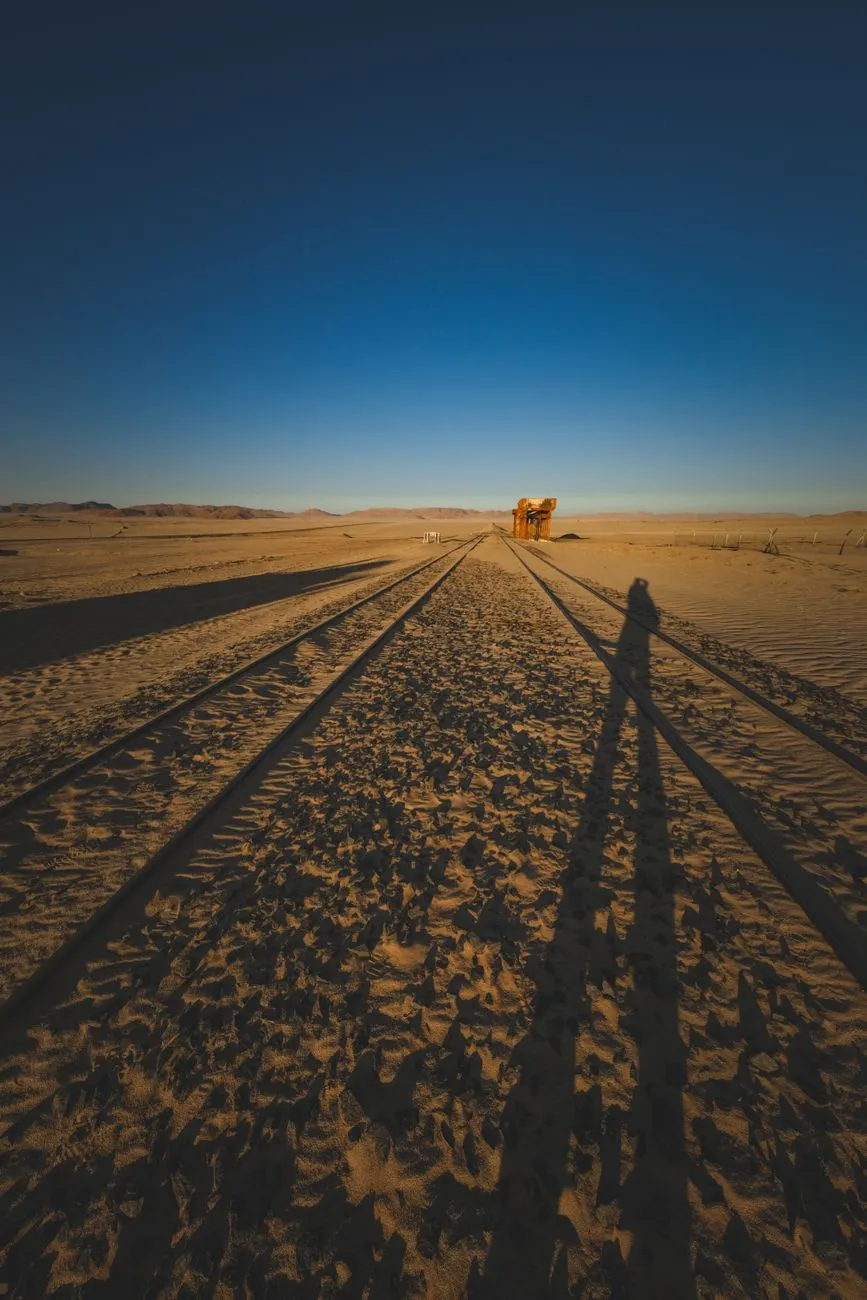

The Sahara does not forgive infrastructure. It swallows asphalt, buries pipelines, and reduces steel to rust-red dust within a single generation. Yet, cutting across this indifference is a scar of steel—the Trans-Saharan Railway. Conceived in the salons of Paris as a civilizing mission to bind the Mediterranean to the Niger River, the project remains one of history’s most expensive exercises in geographical denial. Today, the line exists not as a continuous artery, but as a constellation of ruins: lonely water towers standing sentinel over empty platforms, station masters' houses with roofs caved in by sand drifts, and the singular, roaring exception of the Mauritanian iron ore train. To travel this corridor is not to ride a train, but to archaeologize a dream that the desert refused to let die completely.The Colonial Blueprint: Drawing Lines in the Dust The genesis of the Trans-Saharan Railway lies in the late 19th-century "Scramble for Africa," specifically the French desire to knit their West African territories (Soudan Français, modern Mali/Niger) to the Algerian coast. The strategic logic was seductive: bypass the British-controlled Suez and the hazardous sea lanes around the Cape. The "Transsaharien" was authorized by law in 1879, envisioning a standard-gauge line from Oran or Algiers south through the Hoggar Mountains to Gao and Timbuktu, with a western spur toward Saint-Louis, Senegal. Survey teams faced a reality that maps from Paris obscured. The chosen route—often following ancient caravan trails like the Tarik ibn Ziyad—crossed the ergs (dune seas) of the Grand Erg Occidental and the volcanic chaos of the Hoggar. Engineers calculated that moving a single kilometer of track across the shifting sands of the erg required 30,000 tonnes of ballast to stabilize the bed, a logistical impossibility for a colony with limited rolling stock. By 1906, the line had reached Béchar (then Colomb-Béchar) from the north, and separately, a line pushed east from Dakar to Kayes in Senegal. The "Gap"—over 2,000 kilometers of absolute wilderness—remained. The human cost was staggering. Construction relied heavily on tirailleurs (colonial infantry) and forced labor battalions (corvées). Mortality rates from heatstroke, dysentery, and Tuareg resistance raids often exceeded 20% per season. The "Kilometer 100" cemetery near Béchar stands as a silent testament to the anonymous workers who laid sleepers in 50°C heat. By the 1930s, the Great Depression and the rise of automotive transport (Citroën Kégresse half-tracks proved crossing the desert was faster without rails) killed the political will. The Vichy regime, then the Free French, maintained the northern terminus at Béchar as a strategic military supply line, but the dream of a continuous transcontinental steel thread was officially abandoned in 1941. Ghosts of the Gauge: Abandoned Outposts of the Hoggar South of Béchar, the railway enters the realm of the fantôme. The track bed persists as a low, weed-choked berm, occasionally visible from the N6 highway, but the stations are the true monuments. Take Kenadsa, a mining hub where the line officially terminated for decades. Its station is a masterpiece of style néo-mauresque—horseshoe arches, zellige tilework faded to monochrome, a clock tower frozen at the hour the last scheduled passenger service departed in 1988. The platform edges are crumbling; the buffer stops are buried in drifts of fine chech sand that sings when the wind hits 40 km/h. Further south, near the oasis of Taghouzi, the infrastructure becomes skeletal. Here, the French built a poste de garde every 20 kilometers—small forts with crenellated walls, water cisterns fed by windmills, and telegraph poles. Most are now roofless. I visited Taghouzi in October 2023; the station master’s office still held a rusted Moroccan-made safe, its combination lost, and a stack of fiches de mouvement (train movement sheets) dating to 1962, the ink faded to sepia by the relentless UV. The water tower, a reinforced concrete mushroom on legs, leans at a precarious 15 degrees, undermined by scouring floods from rare crues (flash floods). The most haunting site is In Amguel, deep in the Hoggar foothills. Never a major junction, it was a water stop. The station building is gone, eaten by the wadi. Only the twin water cranes remain, standing like giraffes stripped of hide, their cast-iron counterweights seized solid. The surrounding desert pavement is littered with shards of thick, greenish glass—insulators from the telegraph line that once paralleled the track. Walking the ballast here, you find clous à patte (dog-spike nails) worked loose by thermal expansion, lying like spent cartridge casings. The silence is absolute, broken only by the wind tuning the telegraph wires that still stand, humming a low, aeolian chord.The Mauritania Exception: Where the Iron Ore Still Flows If the Algerian section is a museum, the Mauritanian section is a beast of burden. The SNIM (Société Nationale Industrielle et Minière) line from Zouérat to Nouadhibou is the Trans-Saharan’s only living limb. Completed in 1963 (replacing a narrower gauge line), this 704-kilometer standard-gauge heavy-haul line moves 12–15 million tonnes of iron ore annually. It is the economic spine of Mauritania, contributing roughly 30% of state revenue. The train is legendary: up to 3 kilometers long, 200+ wagons, hauled by three or four GE/EMD locomotives (often CC 22000 or SD70ACS models). It is also the only "passenger" service in the region, though "service" is a generous term. A single passenger carriage—usually a refurbished freight wagon with bench seating and barred windows—is attached to the rear. The journey takes 18–22 hours. There is no dining car, no air conditioning, and the fine hematite dust permeates everything: lungs, lenses, luggage. Riding the SNIM train is a rite of passage for overlanders. You board at Zouérat (or the intermediate stop Choum, gateway to the Adrar plateau). At Choum, the train stops for 20 minutes in the dead of night. Vendors materialize from the darkness selling thieboudienne (fish and rice) wrapped in foil, sweet mint tea in plastic glasses, and phone charging via portable generators. The train lurches forward with a violence that throws standing passengers to the floor—the slack action of 200 couplers taking up tension sequentially. The stations here are functional, brutalist concrete blocks: Fdérik, Tazadit, Choum, Nouadhibou. They lack the architectural pretension of their Algerian cousins. At Nouadhibou, the terminus, the ore is dumped via rotary car dumpers into ships waiting at the mineral pier. The yard is a landscape of conical red mountains—stockpiles of high-grade hematite (64% Fe). The contrast with the silent Algerian stations is violent: here, the rails are polished bright by 22-tonne axle loads passing daily; the ballast is fresh, crushed granite; the signaling is modern CTC (Centralized Traffic Control). This line proves the geography can be conquered, but only when the cargo pays 100 times the value of passenger fares per tonne-kilometer. Logistics of the Lost: Navigating the Silent Tracks Today Exploring the abandoned northern sections requires a paradigm shift from "rail travel" to "expedition logistics." There are no tickets, no timetables, and critically, no water. The primary access route is the N6 (Route Nationale 6) in Algeria, running roughly parallel to the old track bed from Béchar to the Niger border at In Guezzam. A 4x4 vehicle with high clearance (minimum 220mm), dual spare tires, and 200 liters of fuel range is non-negotiable. The "road" south of Tamanrasset degrades into a piste—a track across reg (stony desert) and erg. Permits are a bureaucratic gauntlet. As of 2024, Algeria requires a laissez-passer from the Wilaya (province) police in Béchar or Tamanrasset for travel south of the "Security Zone" line (roughly south of In Salah). You must present a detailed itinerary, vehicle registration, insurance valid for Algeria (green card), and a letter of guarantee from a registered local tour operator. Solo travel is technically prohibited in the deep south; a guide/fixer is mandatory. Costs for a supported 7-day loop (Béchar → Tamanrasset → Djanet/In Guezzam perimeter → return) run €2,500–€3,500 per vehicle including guide, fuel caches, and permits. Mauritania is more accessible but requires a visa (obtainable on arrival at Nouakchott–Oumtounsy International Airport for many nationalities, €55) and a carnet de passage for vehicles. The SNIM train passenger carriage requires no reservation; you simply present yourself at the Zouérat station yard office 2 hours before departure (nominally 15:00, actual departure ±4 hours) with passport and €5–€10 for the "seat."Cost & Logistics Comparison: Northern Ruins vs. Southern Ore LineParameter Algerian Abandoned Section (Béchar–In Guezzam) Mauritanian Active Section (Zouérat–Nouadhibou) NotesPrimary Transport Self-drive 4x4 Expedition SNIM Iron Ore Train (Rear Wagon) Train runs ~daily; 4x4 requires convoy.Permit Lead Time 30–60 Days (Police + Military) 0 Days (Visa on Arrival) Algerian permits require local agency sponsor.Daily Budget (USD) $350–$500 (Guide, Fuel, Security) $50–$100 (Food, Water, Train Fee) Algeria costs driven by mandatory guide/vehicle.Water Autonomy 200 Liters Minimum (Vehicle) 10 Liters Personal (Stations sell water) No potable water on abandoned Algerian route.Navigation Difficulty Extreme (GPS Tracks Essential, Dunes) None (Fixed Rail Infrastructure) Sand ingestion risk high on Algerian pistes.Best Travel Window Oct–Nov / Feb–Mar (Avoid 50°C+) Nov–Feb (Cooler Nights) Summer (Jun–Sep) is lethal in Hoggar/Adrar.Connectivity Thuraya/Iridium Satellite Only Spotty 3G at Major Towns (Choum, Nouadhibou) Algerian south has zero terrestrial coverage.Echoes in the Wind: Preservation vs. Oblivion The future of this legacy hangs on a knife-edge. In Algeria, the Ministère de la Culture has classified several stations (Béchar, Kenadsa, Abadla) as biens culturels protégés. However, protection on paper does not stop the scavenging of structural steel for rebar, the looting of decorative tiles, or the simple erosive power of the sirocco. A 2021 UNESCO feasibility study for a "Trans-Saharan Railway Heritage Route" stalled due to security concerns in the Sahel belt and the sheer cost of stabilizing reinforced concrete in a hyper-arid, saline environment. The estimated cost to mothball just the Kenadsa station complex against collapse exceeds €2 million. Conversely, there is the perennial "zombie project": the Trans-Saharan Railway Revival. Since the 1970s, the African Union (via NEPAD) and the African Development Bank have commissioned feasibility studies for a standard-gauge line connecting Algiers–Lagos (via Niamey) or Nouakchott–Dakar. The most recent 2023 AfDB pre-feasibility study for the Algiers–Zinder–Lagos corridor (2,800 km) priced the build at $18–22 billion. The economic case rests on mineral evacuation (uranium from Niger, phosphates, lithium) rather than passengers. China Railway Construction Corporation (CRCC) has signed MOUs for the Nigerian gauge-standard sections, but the Algerian Saharan crossing remains the "Valley of Death" for financiers—high CAPEX, zero intermediate revenue, extreme maintenance OPEX. Meanwhile, the SNIM line faces its own existential clock. The high-grade hematite at Zouérat (Guelb el Rhein/Kedia d'Idjil) is depleting. SNIM is investing heavily in the Guelb II project (magnetite concentrate, requiring beneficiation) and the Askaf deposit. This extends mine life to 2040+. Crucially, SNIM is piloting hydrogen-hybrid locomotives (Stadler/CRRC partnership Related InsightsCoraline Book Review and Summary Defy Me (Shatter Me) Book Review and Summary Zero-Knowledge Proofs in Enterprise Blockchain: The Verifiable Privacy Layer