Sardinian Nuraghe Trails: Mapping the Bronze Age Megalithic Landscapes

Stone Giants of the Mediterranean
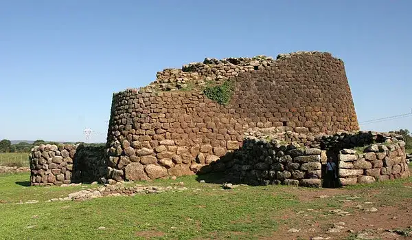
The island of Sardinia rises from the Tyrrhenian Sea like a time‑capsule, its interior studded with more than seven thousand nuraghi — conical stone towers that have guarded the landscape since the Middle Bronze Age, roughly 1800–1100 BCE. These megalithic monuments are not isolated curiosities; they form a dense, interconnected network that once regulated trade, defense, and ritual across the island’s rugged interior. The most celebrated example, Su Nuraxi di Barumini, earned UNESCO World Heritage status in 1997 for its remarkably preserved central tower, surrounding bastions, and a labyrinth of circular huts that illustrate the social hierarchy of the Nuragic people. Yet beyond Barumini, the countryside hides lesser‑known giants such as Nuraghe Losa near Abbasanta, the double‑towered complex of Santu Antine in Torralba, and the hilltop sentinel of Nuraghe Arrubiu in Orroli, each offering a distinct architectural vocabulary that reflects local geology and evolving construction techniques.
Archaeologists have long debated the purpose of these structures. Early theories posited purely defensive roles, but recent excavations reveal domestic spaces, storage silos, and even metallurgical workshops within the walls, suggesting a multifunctional society that blended military vigilance with everyday life. The towers’ thick dry‑stone masonry, built without mortar, demonstrates an advanced understanding of load distribution — stones are laid in diminishing concentric circles, creating a self‑supporting dome that has withstood millennia of earthquakes and erosion. This engineering prowess is mirrored in the surrounding “giants’ graves” (tombe di giganti) and sacred wells, which together compose a ritual landscape aligned with celestial events. Solar orientations at several sites indicate that the Nuragic builders tracked solstices, embedding astronomical knowledge into the very stones that now guide modern hikers.
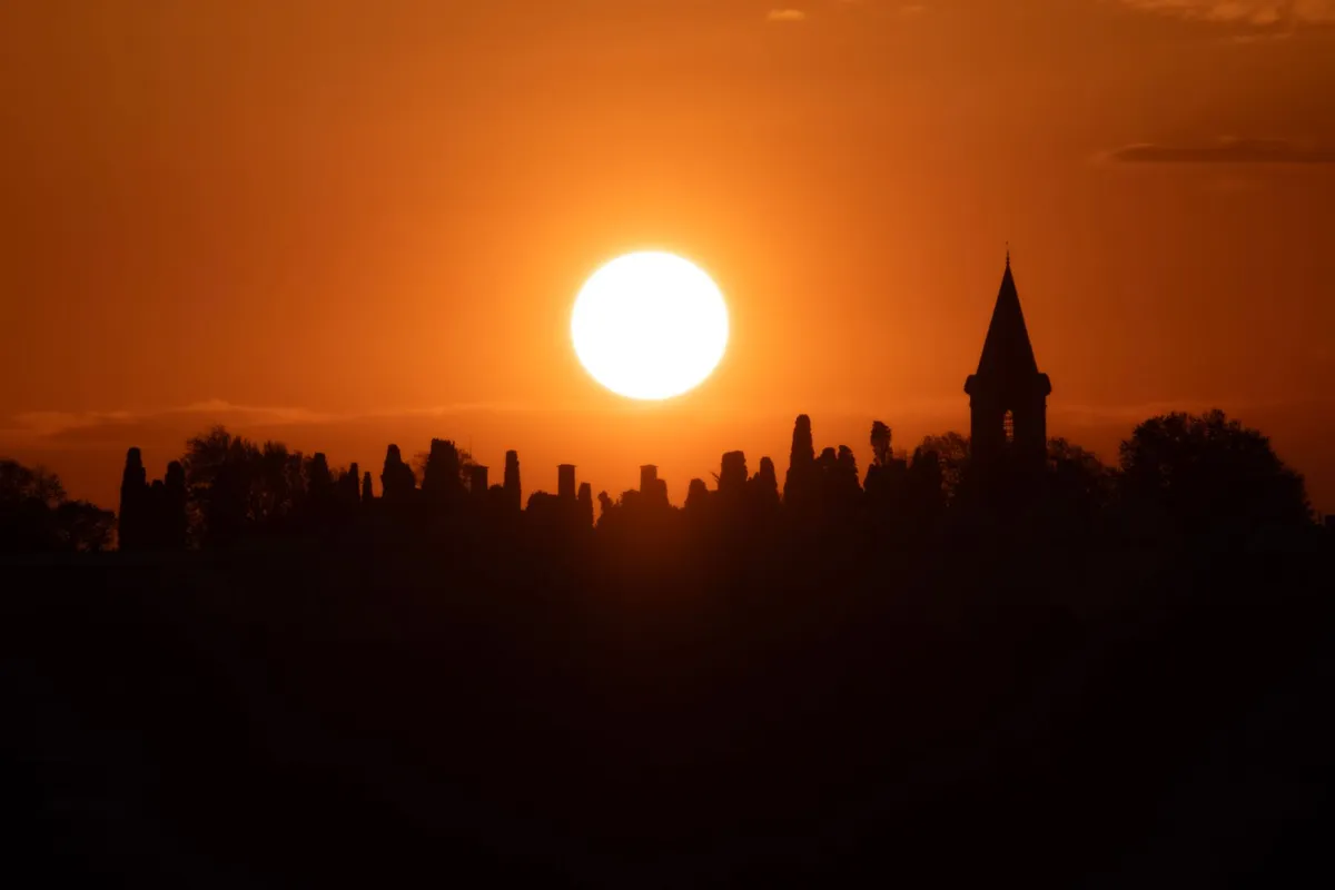
For the contemporary traveler, the nuraghi are more than museum pieces; they are waypoints on a living trail system that stitches together archaeology, ecology, and local culture. The “Sentiero dei Nuraghi” — a network of marked paths maintained by the regional park authority — links over thirty major sites across the central and northern provinces, allowing multi‑day treks that traverse cork oak forests, limestone plateaus, and hidden valleys scented with myrtle and wild rosemary. Each stage reveals a new silhouette against the horizon, inviting walkers to read the landscape as the ancients did: as a map of power, water, and sky.
Charting the Ancient Pathways
Mapping the Nuragic trails demands both scholarly precision and on‑the‑ground intuition. The official cartography, published by the Ente Foreste della Sardegna, provides topographic sheets at 1:25,000 scale that mark every registered nuraghe, tomb, and sacred well, together with trail difficulty ratings (CAI grading from T/E for easy to EE for expert). However, many secondary paths — shepherd tracks, ancient transhumance routes, and forgotten pilgrimage ways — remain uncharted on paper but are known to local guides and the island’s vibrant hiking community. A reliable approach combines the official GPS waypoints (downloadable from the Sardegna Geoportale) with crowd‑sourced tracks on platforms like Wikiloc and Komoot, cross‑referenced against recent field reports from the Associazione Nazionale Guide Ambientali Escursionistiche (ANGAE).
A practical itinerary for a five‑day immersion might begin in the historic town of Oristano, where the archaeological museum offers a concise overview of Nuragic chronology before you set foot on the trail. Day one follows the “Via dei Nuraghi” northward to the coastal plain of Sinis, crossing the low‑lying Nuraghe di Monte Prama — famed for its colossal limestone statues of warriors — before reaching the wetlands of Cabras, a birdwatcher’s paradise. Day two ascends into the basaltic heart of the Montiferru massif, where the double‑towered Nuraghe Santu Antine dominates a panoramic ridge; the ascent gains 600 m over 12 km, rated EE, and rewards hikers with views stretching to the Gulf of Oristano. Day three descends into the limestone karst of the Supramonte, threading through the “Gola di Gorropu” canyon to the remote Nuraghe Mereu, a site only accessible on foot and still under active excavation. Day four loops back via the high plateau of the Gennargentu National Park, touching the sacred well of Su Tempiesu — a subterranean chamber aligned with the winter solstice sunrise — before concluding at the UNESCO complex of Barumini, where guided tours illuminate the stratigraphy of the central tower and its surrounding village.
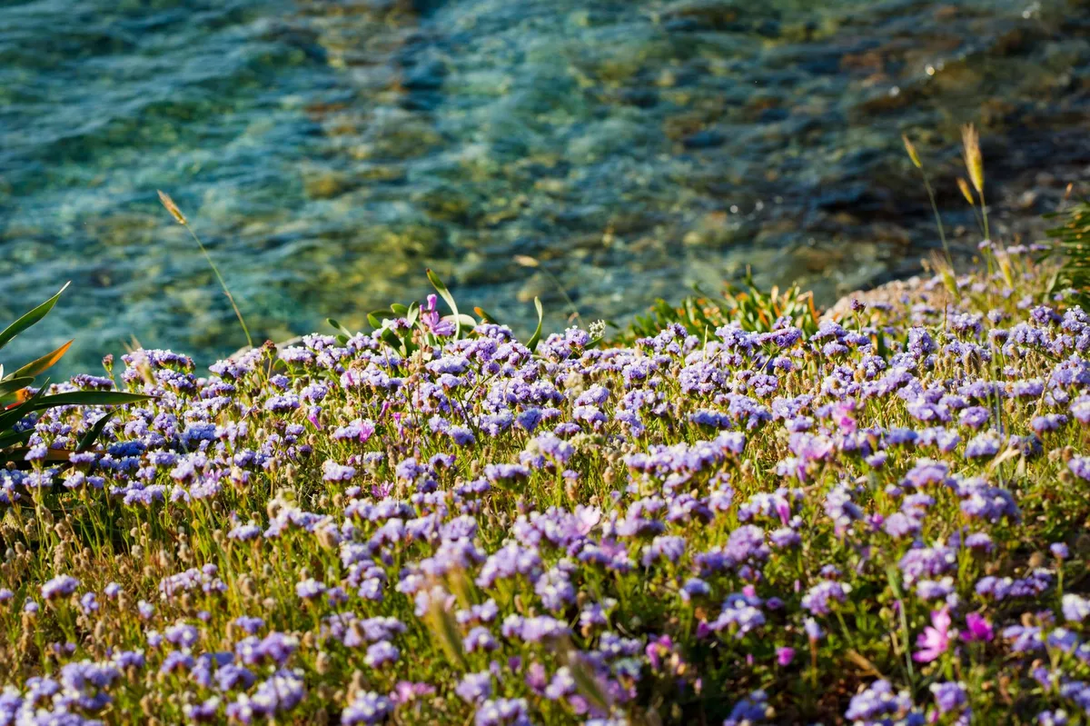
Navigation on these routes requires a blend of digital and analog tools. A rugged GPS device pre‑loaded with offline maps ensures redundancy when mobile signal vanishes in deep valleys. Yet a paper topographic map, a compass, and the ability to read cairn markers (ometti) remain indispensable, especially on sections where trail maintenance is sporadic. Seasonal considerations are critical: spring (April–June) offers wildflower carpets and moderate temperatures (15–22 °C), while autumn (September–October) provides stable weather and fewer tourists. Summer heat can exceed 35 °C on exposed ridges, demanding early starts and ample water — at least three liters per person per day. Winter brings snow on the highest peaks, rendering many high‑altitude sections impassable without alpine equipment.
Where History Meets the Horizon
Walking among the nuraghi is an exercise in temporal layering. Each stone you touch has been shaped by human hands, weathered by wind, and reinterpreted by successive cultures — Phoenicians, Romans, Byzantines, and later Sardinian pastoralists who reused the towers as shepherds’ shelters. This palimpsest is visible in the architecture: at Nuraghe Losa, a Roman-era cistern was carved into the base of the central tower, while at Nuraghe Arrubiu, medieval graffiti coexist with Bronze Age cup marks. The landscape itself tells stories; the “nuragic alphabet” of standing stones (menhirs) and alignment corridors suggests a sophisticated territorial organization that prefigured later Roman centuriation.
Ecologically, the trails traverse a mosaic of habitats that have changed little since the Nuragic era. Cork oak (Quercus suber) savannas dominate the lower slopes, their bark harvested sustainably for centuries — a practice that still supports local economies. Higher up, holm oak (Quercus ilex) and Mediterranean maquis give way to endemic species such as the Sardinian peony (Paeonia corsica) and the rare Gennargentu violet (Viola gennargentua). Wildlife encounters are frequent: mouflon (Ovis orientalis musimon) graze on alpine meadows, golden eagles (Aquila chrysaetos) patrol the cliffs, and the elusive Sardinian wildcat (Felis lybica sarda) slips through the underbrush at dusk. Birdsong provides a constant soundtrack, especially in the wetlands near Cabras where flamingos (Phoenicopterus roseus) stage seasonal migrations.
Cultural immersion deepens when you pause in the villages that dot the trail network. In Barumini, the “Festa di San Giovanni” in late June revives ancient fire rituals that echo Nuragic solstice celebrations. In Orroli, the “Sagra del Pane Carasau” showcases the island’s iconic thin, crisp bread — baked in wood‑fired ovens using durum wheat varieties unchanged since antiquity. Local artisans still practice “filigrana” jewelry, weaving gold and silver into motifs inspired by Nuragic spiral patterns. Engaging with these living traditions transforms a hike into a dialogue across millennia, reminding you that the nuraghi are not dead monuments but anchors of a continuous cultural current.
Practical Logistics for the Modern Explorer
Turning an archaeological pilgrimage into a seamless adventure hinges on realistic budgeting, transport, and accommodation planning. According to the latest cost‑of‑living data for Sardinia (2026), a moderate lifestyle for a solo traveler averages $1,800 per month, broken down into housing $669, groceries $365, utilities $150, transportation $120, and discretionary spending $496. For a two‑week trek, you can expect to spend roughly $900–$1,100 depending on lodging choices. Budget‑friendly options include “agriturismi” (farm stays) that charge €35–€55 per night for a private room with breakfast, often located within walking distance of trailheads. Mid‑range hotels in Oristano or Cagliari range €80–€120 per night, while boutique guesthouses in Barumini hover around €70.
Transport to the island is straightforward: Cagliari Elmas Airport (CAG) and Olbia Costa Smeralda Airport (OLB) receive daily flights from major European hubs. Once on the ground, renting a compact car (≈ €35/day) provides the flexibility to reach remote trailheads such as Nuraghe Mereu, which lacks public transport. Alternatively, the regional bus network (ARST) connects major towns, but schedules are sparse on weekends and may require overnight stays to align with trail start points. For the eco‑conscious, a combination of train (Trenitalia’s “Sardinia Line” from Cagliari to Oristano) and local shuttle services operated by the park authority can reduce carbon footprint, though it adds travel time.
Health and safety considerations are modest but non‑negotiable. The Italian National Health Service (SSN) covers EU citizens