Whispers of the Altai: Tracing Mongolia's Last Nomadic Trails – Part Two

Crossing the Eternal Sky: The Altai Gateway
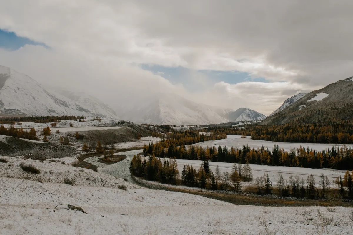
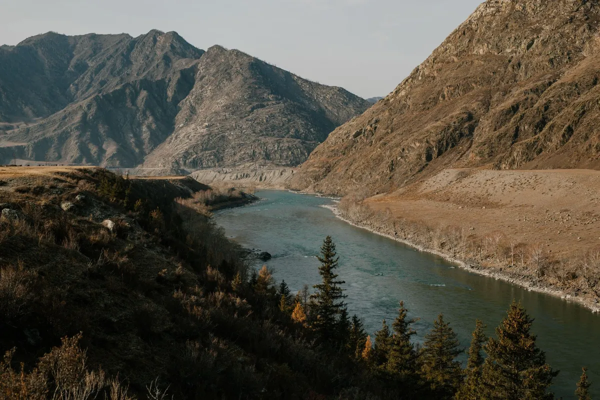
The Altai range rises like a jagged spine between Mongolia, Russia, China, and Kazakhstan, guarding some of the planet’s most pristine pastoral corridors. For centuries, Kazakh eagle hunters and Mongolian herders have moved their flocks along these high valleys, following seasonal water sources that appear only after the summer melt. The gateway to this world is the dusty town of Ölgii, capital of Bayan‑Ölgii Province, where the paved road ends and the real journey begins. From Ölgii, a 4×4 track climbs toward the Tsambagarav massif, crossing the Khovd River at a narrow ford that can swell to a torrent in July. Travelers should time their departure for early June, when the passes are clear of snow but the grass is already tall enough to sustain livestock.
Permits are mandatory. The Mongolian Ministry of Environment issues a “Special Protected Area” permit for the Altai Tavan Bogd National Park, while the local soum (district) office requires a “Herders’ Passage” letter signed by the host family. Both documents can be arranged in Ölgii within a day if you present a copy of your passport, a travel itinerary, and a letter of invitation from a registered ger camp. Fuel is scarce beyond the town; carry at least 120 liters of diesel in jerry cans, and verify that your vehicle’s ground clearance exceeds 220 mm to negotiate the rocky riverbeds. Satellite phones are advisable because mobile coverage disappears after the first 30 kilometers.
The first night is usually spent at a family‑run ger camp near the Khar‑Us Lake. Here, the host will demonstrate the traditional “khadag” greeting — a blue silk scarf offered with both hands — and serve a bowl of salty milk tea (suutei tsai) alongside boiled mutton. This ritual is more than hospitality; it signals that you are accepted onto the migratory route and may travel with the herd for the next leg. Understanding these customs early prevents cultural missteps that can jeopardize later access to grazing lands.
Reading the Wind: Traditional Navigation Techniques
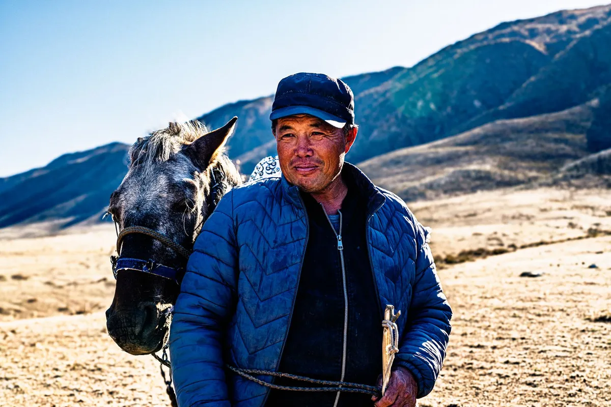
Long before GPS, Altai nomads read the landscape like a map written in wind, stone, and animal behavior. The prevailing westerly wind shapes the orientation of yurts, the direction of herd movement, and even the placement of fire pits. A seasoned herder can tell the time of day by the length of the shadow cast by a lone larch on the ridge, and can predict a storm by the sudden silence of marmots. For the modern traveler, learning a handful of these cues adds a safety layer that no satellite can replace.
First, identify the “wind corridors” — narrow valleys where the breeze funnels consistently. Herders position their camps at the